Friday, January 23, 2015

Trail Sites on the internet and tracking apps for your Smart Phone

Several years ago I started using Wikiloc to save my GPS tracks. Then later I created an EveryTrail account but did not use it much. I returned to it recently and found the interface improved and it had the guide creation feature. I really started using it and moved all my tracks over to the site. It has now been down for a week. This really sucks because I have started using my smart phone and BackCountry Navigator that has a feature to upload directly to EveryTrail. I also installed the EveryTrail app on my phone and was about to purchase a pro account.

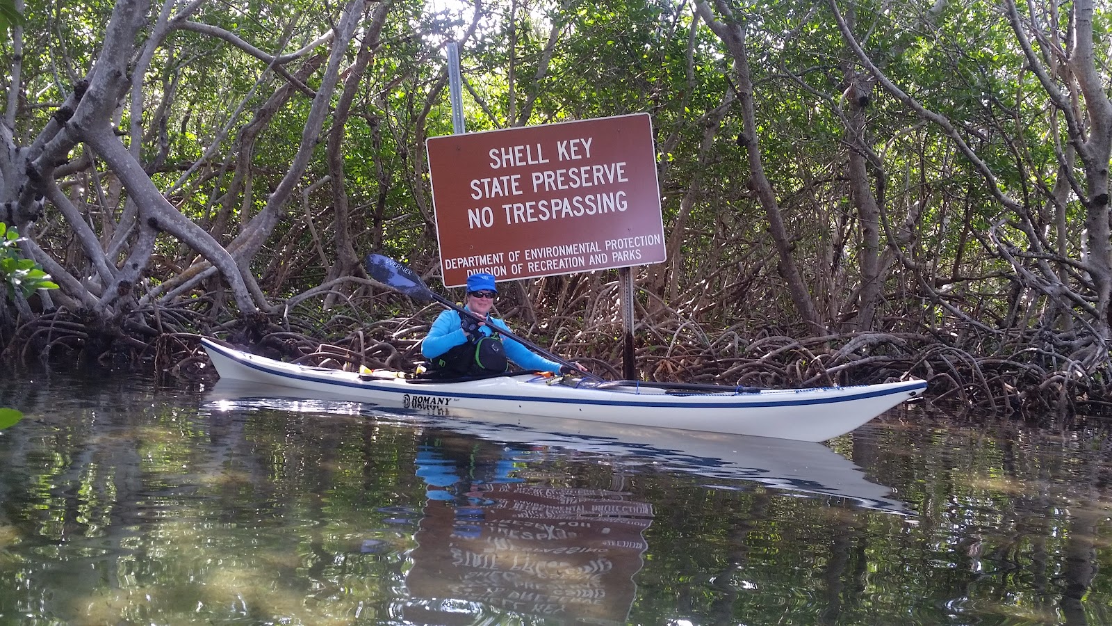
Now, I have another account with AllTrails. I believe this one will stay around since it is run by National Geographic. Still not sure how much I will like it. EveryTrail had some nice features like guide creation. Wikiloc's interface has become dated and I have always had issues with adding photos with geo location metadata. They all have phone apps with various uses and the ability to record tracks with your phones GPS. I prefer to use Backcountry Navigator to record my tracks for a many reasons. The one that stands out the most is the ability to download NOAA charts to the phone so I can navigate when I do not have cell service. I still keep a chart on my deck along with a compass and a regular GPS but having a nautical chart on your phone that you can compare with your deck chart makes knowing your location and taking a bearing super simple.

So, what tech do you use for navigation and sharing your trails? Leave a comment ant let me know. I am always looking to test new apps and gadgets. 

If you know what happened to the EveryTrail site let me know. I can not find any information on the interwebs.

A track screenshot from Backcountry Navigator


Thursday, January 22, 2015

Paddle to Lignumvitae Key

On this outing we paddled to Lignumvitae Key. We got there just in time for the tour.

Ranger-guided tours are given twice daily, Friday through Sunday. The park is accessible only by private boat or tour boat.

After the tour we paddled over to Robbie's and explored the mangrove tunnels and the house boats behind Robbie's. Then we paddled to the kayak landing beach at Robbie's and went to The Hungry Tarpon for lunch. Then we paddled back to the Kon Tiki to hang out around the pool.


Leaving Robbie's

Painting we bought at Robbie's. It fit in my hatch to paddle back.


The video was recorded with my digital camera balanced on my spray deck.

Wednesday, January 21, 2015

Paddle around Shell Key

Our first paddle after we arrived at the Kon Tiki we paddled through Horseshoe Key and around Shell Key. An easy paddle to get our vacation started. Horseshoe Key is a bird nesting ground and it is really cool to watch the birds leave in the morning and return in the evening.


Ibis just hanging out 
The Lorax's Wife at the back entrance of Horseshoe Key

Back entrance to Horseshoe Key

Resident of Horseshoe Key

More inhabitants of Horseshoe Key 

The Lorax's Wife capturing the wild life

Selfie

Osprey at Shell Key

Great Heron at Shell Key

Guess I got to close

The Lorax's Wife watching the fish.

OK, we will stay away but good photo op.

Frigate Birds over Horseshoe Key

Find the iguana 

More Frigate birds

The Kon Tiki from the water

Tiki Bar at the end of the dock at the Kon Tiki

Relaxing in one of the hammocks at the Kon Tiki

Paddle to Indian Key

One of our kayak trips while we were in Islamorada was out to Indian Key.

It was a 10.2 mile round trip. We were on a relaxing vacation and not looking to do really long paddles.

We paddled from the Kon Tiki along the shore and out to Indian Key.  There was a nice little breeze blowing in from the east and the tide was coming in so we had to ferry glide across two channels before we turned under a bridge and headed out into the Atlantic. There was a little chop of maybe a foot and a half under the bridge and maybe a foot once we were in the ocean so, it was easy going. There were some larger waves on the east side of Indian Key that were fun to play in as we circumnavigated the island.

Indian Key has an area for kayak landing. It is rocky so be careful if you have a composite kayak. 


Indian Key was the first county seat for Dade County.

The Lorax's Wife near the kayak landing area.

A nice black and white of the kayak landing.

A map of the path ways on Indian Key

A view from the boat dock at Indian Key.

After walking around Indian Key we paddled over to Robbie's to get some lunch at the Hungry Tarpon.

A selfie at The Hungry Tarpon, with The Lorax's Wife in the back ground.
Robbie's is a must visit place while you are in Islamorada. It is an interesting tourist place consisting of shacks that hold artist doing paintings, trinket shops, kayak rentals and of course The Hungry Tarpon.

After some excellent Dolphin Tacos  we got back in our kayaks and paddled back to the Kon Tiki to lounge by the pool.


Kayaking Florida Bay from Islamorada

For the holidays we spent a couple weeks in Islamorada over Christmas and New Years. It is the half way point between Miami and Key West. Islamorada, a "Village of Islands," is an incorporated village in Monroe County, Florida, United States. We find it to be a great central location to explore all the keys have to offer. 

We prefer to stay at the Kon Tiki Resort. It is a little village style resort with cottage style accommodation located on the Gulf side of the island. It is located in a sheltered area known as Little Basin. There are several Keys and areas to paddle within a mile of the launch making it a great spot for the recreational paddler that does not like to cover a long distance. The have a nice lagoon for swimming a heated pool and boat ramp.

This is the Kon Tiki.


We made several paddles from the boat launch to the surrounding keys.

Keys of note are Indian Key, Lignumvitae Key, Horseshoe Key and Shell Key. There are several Keys called Shell Key so it can get confusing. Also places to check out include Islamorada Fish Company, Robbie's and for you kayaking supply needs there is Backcountry Cowboy Outfitters.

This location also makes a good base to do some camping paddles and longer Paddles into Florida Bay. Little Rabbit Key is only about 12.5 miles from the Kon tiki. Carl Ross Key has been closed to camping but is only 8 miles from the Kon Tiki launch. And there are many other keys to explore in the Florida Bay from this location.

I will post our different paddles from our trip as separate post. 

Tiki Bar and fish cleaning station at the end of the dock.
Sitting at the end of the dock at the Kon Tiki drinking Key Lime Daiquiris 

The Tarpon at Robbie's

The Kon Tiki from the water