So, you are planning that next kayak trip. This is longer than just paddling a couple miles along the shore in your usual location. You want to plan your route but you do not have all the cool and expensive mapping software. Where do you start?
First you may want a chart of the area to print out and have with you. All the NOAA charts are available free online in PDF Format.
http://www.charts.noaa.gov/InteractiveCatalog/nrnc.shtml
There is also an online chart viewer that can be used to plan your route and export it to your GPS.
http://earthnc.com/chartviewer/
Play around with this site and see all the information is has to offer.
Next you need to plan and know what to expect from the tides, currents and weather. I personally turn to NOAA for this information also. Other sites have this information but their data source is NOAA.
Tides and Currents
https://tidesandcurrents.noaa.gov/products.html
This site is not as user friendly as one would hope but if you poke around for a bit you will find it has all the information you want. It has loads of data including graphs of water temperatures, currents and wave averages over time.
Another place for tide information is
http://tbone.biol.sc.edu/tide/
Then there is the National Weather Service provided by NOAA. I like to get and hour by hour report in tabular format and include wave prediction.
http://www.nws.noaa.gov/om/marine/home.htm
Then there is the information available from the buoy stations.
http://www.ndbc.noaa.gov/
The National Data Buoy Center is a great resource for wind, waves and water temperature. You can also reach this site from the forecast page in the NWS Marine forecast page.
You will also want wave and surf information if you are paddling near the mouth of a bay or in the ocean. These are two sites I like to use.
http://www.surfline.com/
http://www.stormsurf.com/
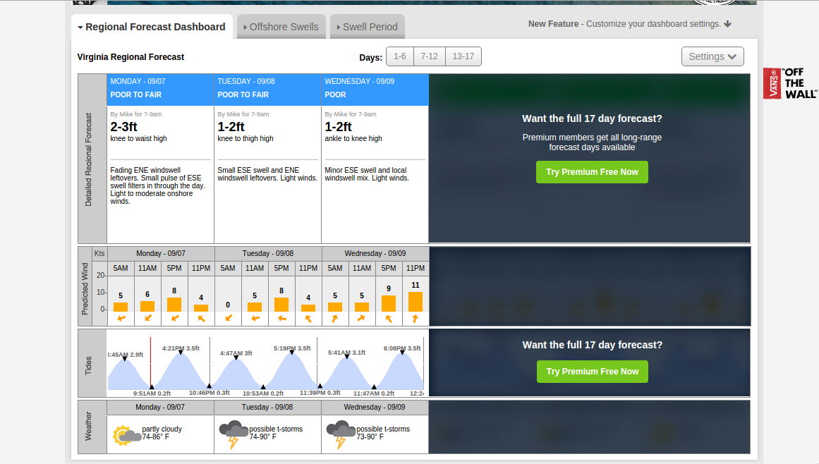
Click around on StormSurf because it contains a lot of data. In the image above you can see the link tabs above the graphic, these will change the display map to show you all kinds fo data about the area.
Next you will want to have a float plan that you give to a family member or friend in the event you do not arrive back when you are expected.
Here are links to some example float plans.
http://floatplancentral.cgaux.org/
http://www.exploreri.org/documents/float_plan-seakayakermag.pdf
http://www.nps.gov/calo/planyourvisit/upload/Canoe-and-Kayak-Float-Plan_rev04-13.pdf
You should find one that works for you and make filing a float plan a habit even on short trips.
To make life even easier in this age of technology you can file a float plan from your smart phone.
Float Plan Apps
http://www.uscg.mil/mobile/
http://www.americancanoe.org/?page=PaddleReady
http://www.thefloatplanapp.com/ - Android version still under development
And just a nice general reference for all things sea kayaking you might want to check out the "
Online Sea Kayaking Referance Book"
Hopefully you find som of these sites useful. Pleas share your favorite kayaking trip prep sites in the comments.